Trail Running in and around Kendal, Cumbria.
Our favourite trails
trails we love to run, hike or plod along!
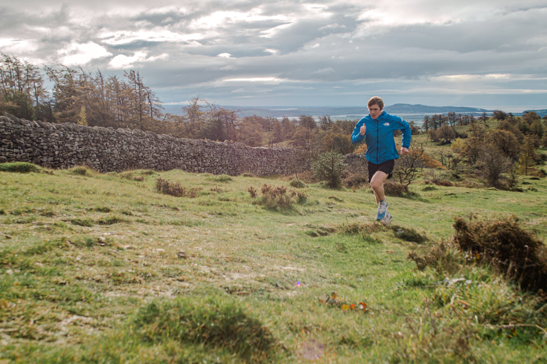
In this edition we take to the streets and trails around our office in Kendal... Recently we went out with, North Face trail running athlete and Ultra Trail Snowdonia 100 mile winner, Josh Wade around the trail running routes of Scout Scar. We took in some of the route which is part of the Kendal Mountain Festival Terrex 10km route. Josh is a local to Kendal, and a regular to the trails around Kendal with Scout Scar a favourite to run with his dog.
Why? "Scout Scar offers running over undulating trails, with great views. Plus, it's not too boggy and it's super close to home. A perfect place to head for a run." - Josh Wade.
It is easy to see why this is a popular favourite amongst locals with panoramic vistas of the Lake District Fells, Morecombe Bay and the Howgills. This is a superb easy going to moderate route with a mix of trails and road running. So, over to Josh...
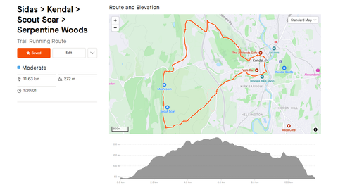
Scout Scar Trail Running Route
Distance: 11.6km
Elevation: 272m
So, lets get going!
So we start from the Sidas Clinic on Bridge Street, Kendal. From here we set off crossing over Miller Bridge heading towards Kendal town centre, once over the bridge at the traffic lights hang a left to run along the river Kent to Abbots Hall Recreation Ground (around 400m). Head up through the park ground to the main road running through Kendal high street, cross over and start to climb up through Gillingate.
Once you get to the top of Gillingate you will bear right, when get to Ghyllside road turnleft and head up to Brigsteer road stay on Brigsteer road for just over 1km. You will see a layby on your left with access to the trail on the right... head on up towards Scout Scar across the field to the wall. Reconnect with the trail on the otherside of the wall and head up through the tree line for around 1.35km.
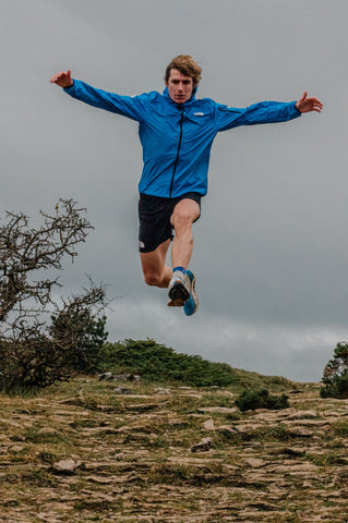
You have reached the swing gate, go through and stay on the main trail until it splits (around 220m). Then turn right to run along the face of Scout Scar. You will have amazing vistas to enjoy!
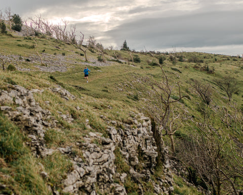
To the north and west you will have layered views over to the Lake District Fells, to the south west Morecombe Bay and Arnside, and to the east views of rolling Howgills.
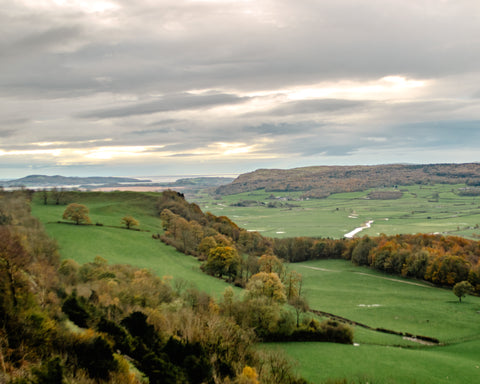
Enjoying the views run along the trail which skirts along the face of the scar... heading north for around 1.85km you will pass the 'Mushroom' on your right before starting to descend gently towards Underbarrow road.

Time to exit Scout Scar
Go through the gate to exit Scout Scar and take care to cross the road to the Scout Scar car park. Once on the other side of the road and in the car park there is small path way heading to Cunswick Wood, head through to the second car park, through the trees and connect to a trail cutting through the field. Cross over Gamblesmire Ln (a track cutting through the fileds) and take the trail which runs to the right, keep the wall on your righthand side and follow it round, you will pretty much double back on yourself. Cross over the wall into the next field and follow the track down to the A591 walk way. Cross over the A591 and on the other side take a left keeping the small woodland on your right... it will then open up and you should see some farm buildings, head towards these and take the trail path on the right and cut over the field to the bottom left corner as you look at it. Once you reach the field perimeter cross over to the other side and reconnect with the trail head towards the woodland on your right.
Heading into town... watch your feet!
Keep using this trail down 'the tram' then split off towards and through Serpentine Wood. You will then reach Serpentine road from here you will follow the streets, gullys and ginnels to reach Kendals town centre. When exiting Serpentine Woods cross the road onto Serpentine road, then take the stairs on your right. At the bottom of the stair take a left onto Sepulchre Ln, keep an eye out for the ginnel on the right turn down here. Then take a right, then a left down steps to Low Fellside cross over a keep going down the steps. You will arrive into Booths car park, cut through here to Woolpack Yard (if you fancy a warm drink treat yourself and drop into Kakaw for a hot chocolate & marshmallows).
Head through Woolpack Yard and back to The Sidas Clinic through town.
The Route Map
Download the Scout Scar Trail Running Route GPX file.
Enjoy! Don't forget to tag us in your images, videos or posts @sidasuk #sidascommunity
Josh's Sidas Kit:
OPCT Custom Run Light Active Insoles (from The Sidas Clinic)
Follow us on Instagram, Facebook and NOW Strava

